
下沿盘 topographic map
Interactive map
Click on the map to display elevation.
About this map
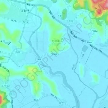
Name: 下沿盘 topographic map, elevation, terrain.
Location: 下沿盘, 茶院乡, 宁海县, 宁波市, 浙江省, 中国 (29.28160 121.56083 29.32160 121.60083)
Average elevation: 19 m
Minimum elevation: 0 m
Maximum elevation: 159 m
Other topographic maps
Click on a map to view its topography, its elevation and its terrain.