
合肥国家高新技术产业开发区 topographic map
Interactive map
Click on the map to display elevation.
About this map
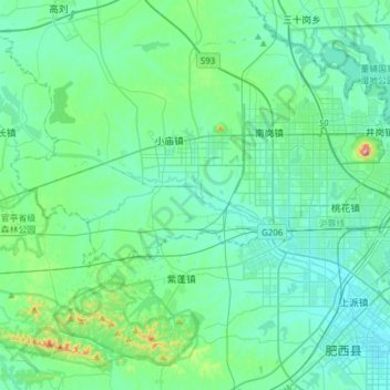
Name: 合肥国家高新技术产业开发区 topographic map, elevation, terrain.
Location: 合肥国家高新技术产业开发区, 蜀山区, 合肥市, 安徽省, 中国 (31.76389 116.90457 31.85967 117.21081)
Average elevation: 47 m
Minimum elevation: 8 m
Maximum elevation: 273 m
Other topographic maps
Click on a map to view its topography, its elevation and its terrain.