
天乐社区服务中心 topographic map
Interactive map
Click on the map to display elevation.
About this map
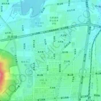
Name: 天乐社区服务中心 topographic map, elevation, terrain.
Location: 天乐社区服务中心, 合肥国家高新技术产业开发区, 蜀山区, 合肥市, 安徽省, 中国 (31.83368 117.17874 31.86656 117.21057)
Average elevation: 41 m
Minimum elevation: 23 m
Maximum elevation: 110 m
Other topographic maps
Click on a map to view its topography, its elevation and its terrain.