
Thank you for supporting this site ❤️
Make a donation
Make a donation
Easton topographic map
Click on the map to display elevation.
Thank you for supporting this site ❤️
Make a donation
Make a donation
About this map
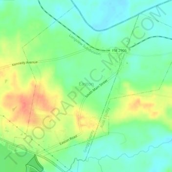
Name: Easton topographic map, elevation, terrain.
Location: Easton, Gregg County, Texas, 75641, United States (32.36450 -94.60902 32.39654 -94.56851)
Average elevation: 85 m
Minimum elevation: 65 m
Maximum elevation: 115 m
Thank you for supporting this site ❤️
Make a donation
Make a donation
Other topographic maps
Click on a map to view its topography, its elevation and its terrain.