
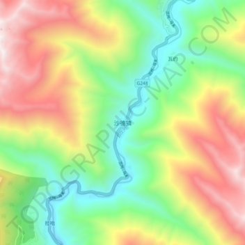
沙德镇 topographic map
Interactive map
Click on the map to display elevation.
About this map
Name: 沙德镇 topographic map, elevation, terrain.
Location: 沙德镇, 康定市, 甘孜藏族自治州, 四川省, 中国 (29.58295 101.32809 29.66295 101.40809)
Average elevation: 3,829 m
Minimum elevation: 3,075 m
Maximum elevation: 4,886 m
Other topographic maps
Click on a map to view its topography, its elevation and its terrain.