
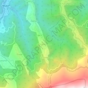
Aït Sidi Athmane topographic map
Interactive map
Click on the map to display elevation.
About this map
Name: Aït Sidi Athmane topographic map, elevation, terrain.
Average elevation: 783 m
Minimum elevation: 340 m
Maximum elevation: 1,605 m
Other topographic maps
Click on a map to view its topography, its elevation and its terrain.
Tikichourt
Algérie > Tizi Ouzou > Daïra Ouacif > Ouacif
Tikichourt, Ouacif, Daïra Ouacif, Tizi Ouzou, 15015, Algérie
Average elevation: 556 m