
Pivierda topographic map
Interactive map
Click on the map to display elevation.
About this map
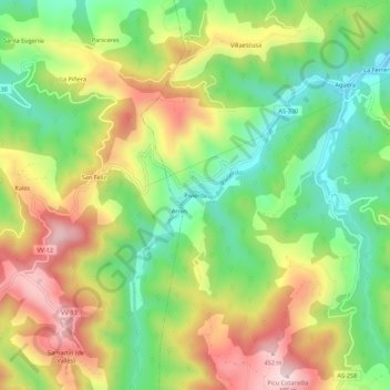
Name: Pivierda topographic map, elevation, terrain.
Location: Pivierda, Colunga, Asturias, España (43.43184 -5.35450 43.47184 -5.31450)
Average elevation: 222 m
Minimum elevation: 34 m
Maximum elevation: 459 m
Other topographic maps
Click on a map to view its topography, its elevation and its terrain.