
Гай topographic map
Interactive map
Click on the map to display elevation.
About this map
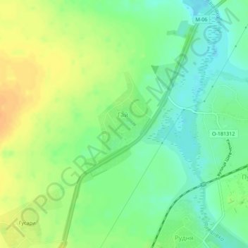
Name: Гай topographic map, elevation, terrain.
Location: Гай, Радивилівський район, Oblast de Rivne, 35533, Ucrânia (50.22176 25.47006 50.23331 25.48165)
Average elevation: 222 m
Minimum elevation: 207 m
Maximum elevation: 239 m
Other topographic maps
Click on a map to view its topography, its elevation and its terrain.