
前栗园村 topographic map
Interactive map
Click on the map to display elevation.
About this map
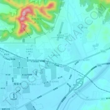
Name: 前栗园村 topographic map, elevation, terrain.
Location: 前栗园村, 密云区, 北京市, 101500, 中国 (40.37451 116.85976 40.41451 116.89976)
Average elevation: 105 m
Minimum elevation: 70 m
Maximum elevation: 324 m
Other topographic maps
Click on a map to view its topography, its elevation and its terrain.