
大兴村 topographic map
Interactive map
Click on the map to display elevation.
About this map
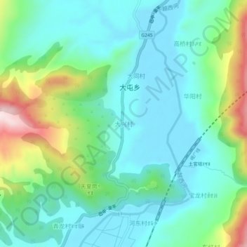
Name: 大兴村 topographic map, elevation, terrain.
Location: 大兴村, 越西县, 凉山彝族自治州, 四川省, 中国 (28.66194 102.51201 28.70194 102.55201)
Average elevation: 1,753 m
Minimum elevation: 1,640 m
Maximum elevation: 2,089 m
Other topographic maps
Click on a map to view its topography, its elevation and its terrain.