
拉出波西 topographic map
Interactive map
Click on the map to display elevation.
About this map
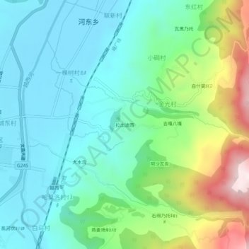
Name: 拉出波西 topographic map, elevation, terrain.
Location: 拉出波西, 越西县, 凉山彝族自治州, 四川省, 中国 (28.62291 102.51543 28.66291 102.55543)
Average elevation: 1,843 m
Minimum elevation: 1,651 m
Maximum elevation: 2,385 m
Other topographic maps
Click on a map to view its topography, its elevation and its terrain.