
Thank you for supporting this site ❤️
Make a donation
Make a donation
Beverlo topographic map
Click on the map to display elevation.
Thank you for supporting this site ❤️
Make a donation
Make a donation
About this map
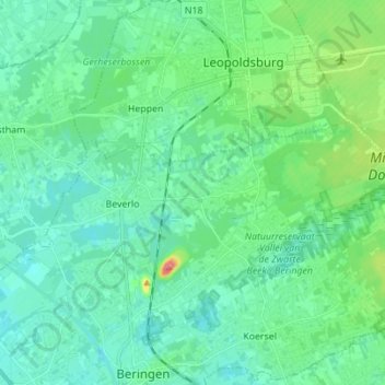
Name: Beverlo topographic map, elevation, terrain.
Location: Beverlo, Beringen, Hasselt, Limburg, Vlaanderen, België (51.07380 5.19174 51.10576 5.32987)
Average elevation: 43 m
Minimum elevation: 22 m
Maximum elevation: 126 m
Thank you for supporting this site ❤️
Make a donation
Make a donation
Other topographic maps
Click on a map to view its topography, its elevation and its terrain.