
Rosso topographic map
Interactive map
Click on the map to display elevation.
About this map
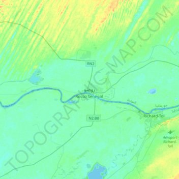
Name: Rosso topographic map, elevation, terrain.
Location: Rosso, Trarza, Mauritania (16.35325 -15.96997 16.67325 -15.64997)
Average elevation: 7 m
Minimum elevation: -2 m
Maximum elevation: 28 m
Other topographic maps
Click on a map to view its topography, its elevation and its terrain.