
Tanit topographic map
Interactive map
Click on the map to display elevation.
About this map
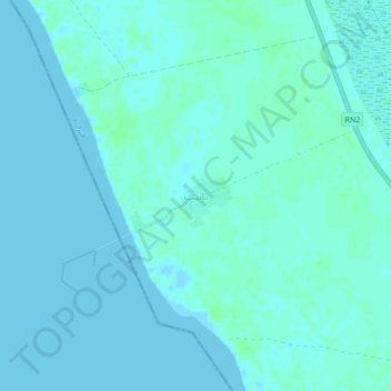
Name: Tanit topographic map, elevation, terrain.
Location: Tanit, Trarza, Mauritania (18.57864 -16.11871 18.61864 -16.07871)
Average elevation: 2 m
Minimum elevation: -2 m
Maximum elevation: 7 m