
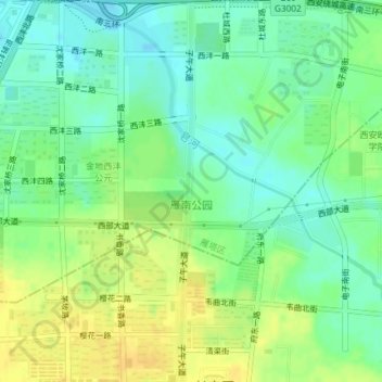
雁南公园 topographic map
Interactive map
Click on the map to display elevation.
About this map
Name: 雁南公园 topographic map, elevation, terrain.
Location: 雁南公园, 雁塔区, 西安市, 陕西省, 710000, 中国 (34.16010 108.88499 34.19061 108.90040)
Average elevation: 426 m
Minimum elevation: 414 m
Maximum elevation: 438 m
Other topographic maps
Click on a map to view its topography, its elevation and its terrain.