
郎溪县 topographic map
Interactive map
Click on the map to display elevation.
About this map
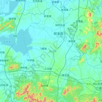
Name: 郎溪县 topographic map, elevation, terrain.
Location: 郎溪县, 宣城市, 安徽省, 中国 (30.81156 118.98142 31.30459 119.37597)
Average elevation: 50 m
Minimum elevation: 3 m
Maximum elevation: 494 m
Other topographic maps
Click on a map to view its topography, its elevation and its terrain.