
Thiaumont topographic map
Interactive map
Click on the map to display elevation.
About this map
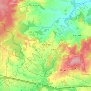
Name: Thiaumont topographic map, elevation, terrain.
Location: Thiaumont, Attert, Aarlen, Luxemburg, Wallonië, 6717, België (49.69664 5.69064 49.73438 5.77555)
Average elevation: 365 m
Minimum elevation: 302 m
Maximum elevation: 442 m
Other topographic maps
Click on a map to view its topography, its elevation and its terrain.