
Thank you for supporting this site ❤️
Make a donation
Make a donation
Sesselich topographic map
Click on the map to display elevation.
Thank you for supporting this site ❤️
Make a donation
Make a donation
About this map
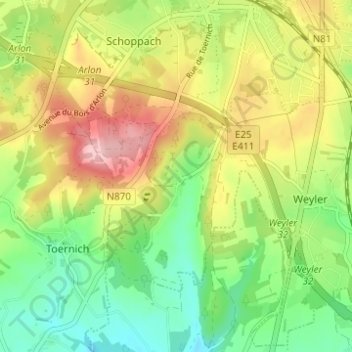
Name: Sesselich topographic map, elevation, terrain.
Location: Sesselich, Aarlen, Luxemburg, Wallonië, 6700, België (49.63951 5.77867 49.67951 5.81867)
Average elevation: 378 m
Minimum elevation: 309 m
Maximum elevation: 468 m
Thank you for supporting this site ❤️
Make a donation
Make a donation
Other topographic maps
Click on a map to view its topography, its elevation and its terrain.