
Thank you for supporting this site ❤️
Make a donation
Make a donation
Millington topographic map
Click on the map to display elevation.
Thank you for supporting this site ❤️
Make a donation
Make a donation
About this map
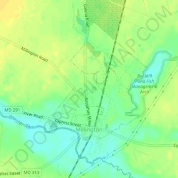
Name: Millington topographic map, elevation, terrain.
Location: Millington, Kent County, Maryland, United States (39.25410 -75.84506 39.27446 -75.82583)
Average elevation: 12 m
Minimum elevation: 0 m
Maximum elevation: 22 m
Thank you for supporting this site ❤️
Make a donation
Make a donation
Other topographic maps
Click on a map to view its topography, its elevation and its terrain.