
Schloss Beichlingen topographic map
Interactive map
Click on the map to display elevation.
About this map
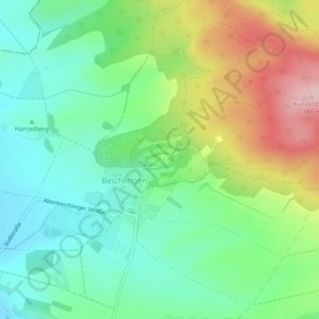
Name: Schloss Beichlingen topographic map, elevation, terrain.
Average elevation: 243 m
Minimum elevation: 170 m
Maximum elevation: 380 m
Other topographic maps
Click on a map to view its topography, its elevation and its terrain.
Burgwenden
Deutschland > Thüringen > Landkreis Sömmerda > Kölleda
Burgwenden, Kölleda, Landkreis Sömmerda, Thüringen, Deutschland
Average elevation: 264 m
Großmonra
Deutschland > Thüringen > Landkreis Sömmerda > Kölleda
Großmonra, Kölleda, Landkreis Sömmerda, Thüringen, Deutschland
Average elevation: 240 m