
Wolf Point topographic map
Interactive map
Click on the map to display elevation.
About this map
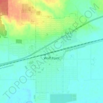
Name: Wolf Point topographic map, elevation, terrain.
Average elevation: 615 m
Minimum elevation: 600 m
Maximum elevation: 652 m
Other topographic maps
Click on a map to view its topography, its elevation and its terrain.
Poplar
United States > Montana > Roosevelt County
Poplar, Poplar District, Roosevelt County, Montana, United States
Average elevation: 600 m
Culbertson
United States > Montana > Roosevelt County
Culbertson, Roosevelt County, Montana, United States
Average elevation: 595 m