
龙河镇 topographic map
Interactive map
Click on the map to display elevation.
About this map
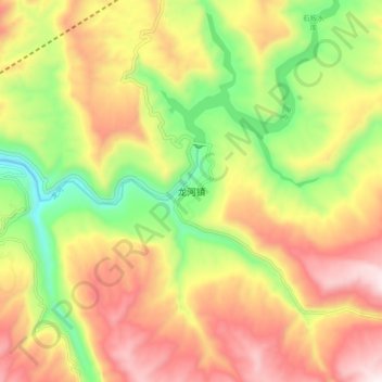
Name: 龙河镇 topographic map, elevation, terrain.
Location: 龙河镇, 丰都县, 重庆市, 中国 (29.79919 107.94523 29.87919 108.02523)
Average elevation: 662 m
Minimum elevation: 276 m
Maximum elevation: 1,045 m
Other topographic maps
Click on a map to view its topography, its elevation and its terrain.