
Cookson topographic map
Interactive map
Click on the map to display elevation.
About this map
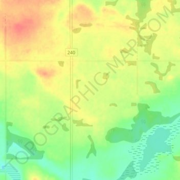
Name: Cookson topographic map, elevation, terrain.
Location: Cookson, Shellbrook No. 493, Saskatchewan, Canada (53.51333 -106.33667 53.55333 -106.29667)
Average elevation: 527 m
Minimum elevation: 502 m
Maximum elevation: 551 m