
Naranjillo topographic map
Interactive map
Click on the map to display elevation.
About this map
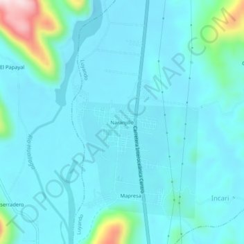
Name: Naranjillo topographic map, elevation, terrain.
Location: Naranjillo, Luyando, Leoncio Prado, Huánuco, Perú (-9.26954 -76.01368 -9.22954 -75.97368)
Average elevation: 664 m
Minimum elevation: 614 m
Maximum elevation: 1,003 m
Other topographic maps
Click on a map to view its topography, its elevation and its terrain.