
Casal do Rei topographic map
Interactive map
Click on the map to display elevation.
About this map
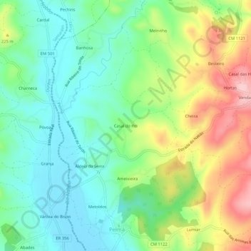
Name: Casal do Rei topographic map, elevation, terrain.
Location: Casal do Rei, Pelmá, Alvaiázere, Leiria, 2435-281, Portugal (39.76757 -8.47006 39.80757 -8.43006)
Average elevation: 176 m
Minimum elevation: 108 m
Maximum elevation: 302 m
Other topographic maps
Click on a map to view its topography, its elevation and its terrain.