
Banhosa topographic map
Interactive map
Click on the map to display elevation.
About this map
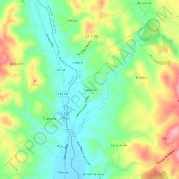
Name: Banhosa topographic map, elevation, terrain.
Location: Banhosa, Pelmá, Alvaiázere, Leiria, 2435-281, Portugal (39.78001 -8.47862 39.82001 -8.43862)
Average elevation: 171 m
Minimum elevation: 112 m
Maximum elevation: 265 m