
菊花岛 topographic map
Interactive map
Click on the map to display elevation.
About this map
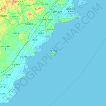
Name: 菊花岛 topographic map, elevation, terrain.
Location: 菊花岛, 兴城市, 葫芦岛市, 辽宁省, 中国 (40.17978 120.48694 40.81978 121.12694)
Average elevation: 24 m
Minimum elevation: -4 m
Maximum elevation: 552 m
Other topographic maps
Click on a map to view its topography, its elevation and its terrain.