
烟台河 topographic map
Interactive map
Click on the map to display elevation.
About this map
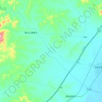
Name: 烟台河 topographic map, elevation, terrain.
Location: 烟台河, 兴城市, 葫芦岛市, 辽宁省, 中国 (40.43664 120.37547 40.57187 120.58973)
Average elevation: 58 m
Minimum elevation: 3 m
Maximum elevation: 381 m
Other topographic maps
Click on a map to view its topography, its elevation and its terrain.