
Bhatinda topographic map
Interactive map
Click on the map to display elevation.
About this map
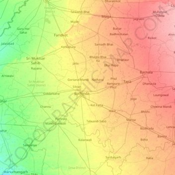
Name: Bhatinda topographic map, elevation, terrain.
Location: Bhatinda, Bathinda, Punjab, 151004, India (29.61000 74.36000 30.89000 75.64000)
Average elevation: 210 m
Minimum elevation: 182 m
Maximum elevation: 248 m
Other topographic maps
Click on a map to view its topography, its elevation and its terrain.