
蒸水 topographic map
Interactive map
Click on the map to display elevation.
About this map
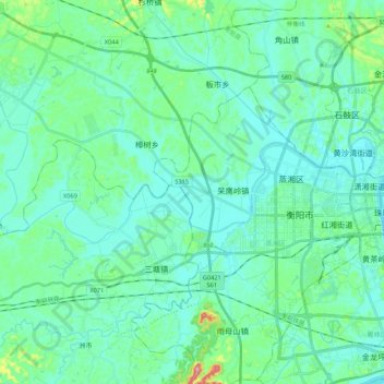
Name: 蒸水 topographic map, elevation, terrain.
Location: 蒸水, 衡南县, 衡阳市, 湖南省, 中国 (26.88320 112.40048 26.93273 112.61477)
Average elevation: 77 m
Minimum elevation: 47 m
Maximum elevation: 230 m
Other topographic maps
Click on a map to view its topography, its elevation and its terrain.