
盐湖镇 topographic map
Interactive map
Click on the map to display elevation.
About this map
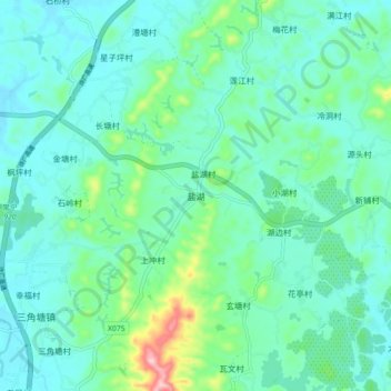
Name: 盐湖镇 topographic map, elevation, terrain.
Location: 盐湖镇, 常宁市, 衡阳市, 湖南省, 中国 (26.34650 112.45400 26.42650 112.53400)
Average elevation: 123 m
Minimum elevation: 83 m
Maximum elevation: 295 m