
Dinagat Islands topographic map
Interactive map
Click on the map to display elevation.
Dinagat Islands
Dinagat Islands is a young island-province at the northern tip of Mindanao. Many describe Dinagat Islands as a hidden gem of the Caraga Region XIII. The Islands are enriched with great bio-diversity, abundant natural wonders and rich resources. Dinagat Islands has a multitude of fascinating white sandy beaches with arrays of colossal rock formations. These sites and attractions are as diverse as the topography of the islands and islets.
About this map
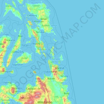
Name: Dinagat Islands topographic map, elevation, terrain.
Location: Dinagat Islands, Caraga, Philippines (7.59779 123.02518 12.71779 128.14518)
Average elevation: 91 m
Minimum elevation: -2 m
Maximum elevation: 2,797 m
Other topographic maps
Click on a map to view its topography, its elevation and its terrain.