
Thank you for supporting this site ❤️
Make a donation
Make a donation
Évoramonte topographic map
Click on the map to display elevation.
Thank you for supporting this site ❤️
Make a donation
Make a donation
About this map
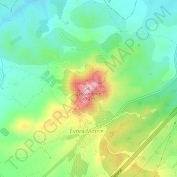
Name: Évoramonte topographic map, elevation, terrain.
Location: Évoramonte, Estremoz, Évora, 7100-308, Portugal (38.77185 -7.71585 38.77195 -7.71575)
Average elevation: 328 m
Minimum elevation: 248 m
Maximum elevation: 478 m
Thank you for supporting this site ❤️
Make a donation
Make a donation
Other topographic maps
Click on a map to view its topography, its elevation and its terrain.