
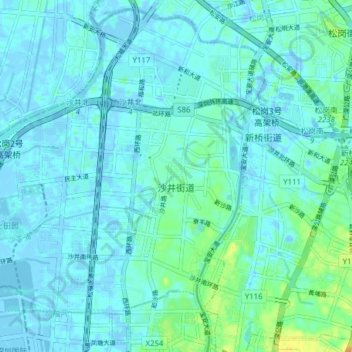
沙井街道 topographic map
Interactive map
Click on the map to display elevation.
About this map
Name: 沙井街道 topographic map, elevation, terrain.
Location: 沙井街道, 宝安区, 深圳市, 广东省, 518100, 中国 (22.70388 113.74706 22.77219 113.82523)
Average elevation: 5 m
Minimum elevation: -20 m
Maximum elevation: 29 m
Other topographic maps
Click on a map to view its topography, its elevation and its terrain.