
燕罗街道 topographic map
Interactive map
Click on the map to display elevation.
About this map
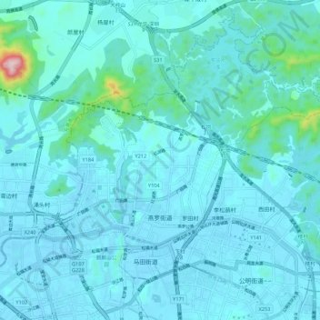
Name: 燕罗街道 topographic map, elevation, terrain.
Location: 燕罗街道, 宝安区, 深圳市, 广东省, 518100, 中国 (22.77403 113.82236 22.86440 113.92975)
Average elevation: 40 m
Minimum elevation: -11 m
Maximum elevation: 478 m