
火炉山 topographic map
Interactive map
Click on the map to display elevation.
About this map
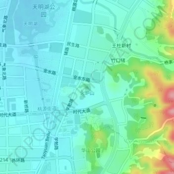
Name: 火炉山 topographic map, elevation, terrain.
Location: 火炉山, 宁波市, 浙江省, 中国 (29.31885 121.44420 29.31895 121.44430)
Average elevation: 40 m
Minimum elevation: 15 m
Maximum elevation: 136 m
Other topographic maps
Click on a map to view its topography, its elevation and its terrain.