
Thank you for supporting this site ❤️
Make a donation
Make a donation
Greeley topographic map
Click on the map to display elevation.
Thank you for supporting this site ❤️
Make a donation
Make a donation
About this map
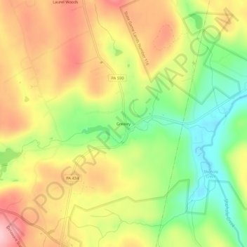
Name: Greeley topographic map, elevation, terrain.
Location: Greeley, Pike County, Pennsylvania, United States (41.40004 -75.01553 41.44004 -74.97553)
Average elevation: 361 m
Minimum elevation: 273 m
Maximum elevation: 444 m
Thank you for supporting this site ❤️
Make a donation
Make a donation
Other topographic maps
Click on a map to view its topography, its elevation and its terrain.