
Goldendale topographic map
Interactive map
Click on the map to display elevation.
Goldendale
Goldendale's elevation at the County Courthouse is 498 meters (1,634 feet).
About this map
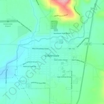
Name: Goldendale topographic map, elevation, terrain.
Location: Goldendale, Klickitat County, Washington, United States (45.80453 -120.83828 45.83918 -120.80349)
Average elevation: 514 m
Minimum elevation: 477 m
Maximum elevation: 643 m
Other topographic maps
Click on a map to view its topography, its elevation and its terrain.
Goldendale
United States > Washington > Klickitat County > Goldendale > Goldendale
Goldendale's elevation at the County Courthouse is 498 meters (1,634 feet).
Average elevation: 536 m