
Goldendale topographic map
Interactive map
Click on the map to display elevation.
About this map
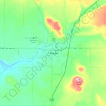
Name: Goldendale topographic map, elevation, terrain.
Average elevation: 536 m
Minimum elevation: 463 m
Maximum elevation: 692 m
Goldendale's elevation at the County Courthouse is 498 meters (1,634 feet).