
Pucayacu topographic map
Interactive map
Click on the map to display elevation.
About this map
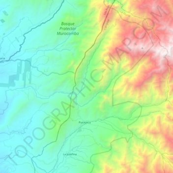
Name: Pucayacu topographic map, elevation, terrain.
Location: Pucayacu, La Maná, Cotopaxi, Ecuador (-0.78252 -79.18712 -0.56474 -79.00607)
Average elevation: 1,054 m
Minimum elevation: 296 m
Maximum elevation: 2,941 m
Other topographic maps
Click on a map to view its topography, its elevation and its terrain.