
La Maná topographic map
Interactive map
Click on the map to display elevation.
About this map
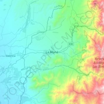
Name: La Maná topographic map, elevation, terrain.
Location: La Maná, Cotopaxi, 050202, Ecuador (-1.10104 -79.38504 -0.78104 -79.06504)
Average elevation: 567 m
Minimum elevation: 66 m
Maximum elevation: 2,606 m
Other topographic maps
Click on a map to view its topography, its elevation and its terrain.