
Athabasca County topographic map
Interactive map
Click on the map to display elevation.
About this map
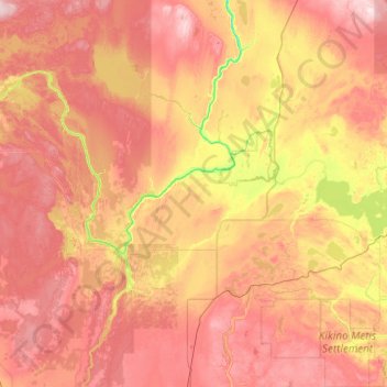
Name: Athabasca County topographic map, elevation, terrain.
Location: Athabasca County, Alberta, Canada (54.32663 -113.68570 55.46074 -112.31509)
Average elevation: 626 m
Minimum elevation: 471 m
Maximum elevation: 816 m
Other topographic maps
Click on a map to view its topography, its elevation and its terrain.
Mount Columbia
Canada > Alberta > Improvement District No. 12 > Area A (Kicking Horse/Kinbasket Lake)
Average elevation: 2,843 m