
Manitou Beach topographic map
Interactive map
Click on the map to display elevation.
About this map
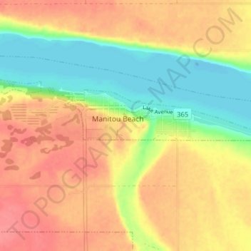
Name: Manitou Beach topographic map, elevation, terrain.
Location: Manitou Beach, Saskatchewan, Canada (51.69671 -105.46148 51.73671 -105.42148)
Average elevation: 525 m
Minimum elevation: 490 m
Maximum elevation: 551 m
Other topographic maps
Click on a map to view its topography, its elevation and its terrain.
Little Manitou Lake
Canada > Saskatchewan > Manitou Beach
Little Manitou Lake, 365, Manitou Beach, Census Division No. 11, Saskatchewan, Canada
Average elevation: 510 m