
Kornsand topographic map
Interactive map
Click on the map to display elevation.
About this map
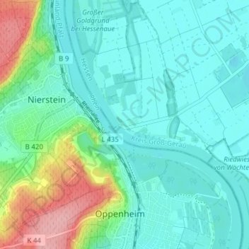
Name: Kornsand topographic map, elevation, terrain.
Location: Kornsand, Trebur, Kreis Groß-Gerau, Hessen, 55276, Deutschland (49.84707 8.33607 49.88707 8.37607)
Average elevation: 106 m
Minimum elevation: 77 m
Maximum elevation: 206 m