
Schönfels topographic map
Interactive map
Click on the map to display elevation.
About this map
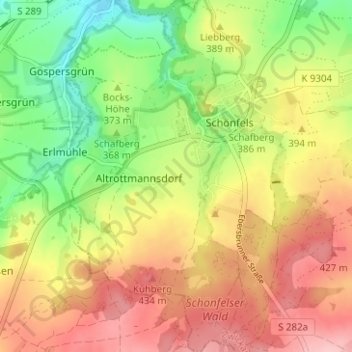
Name: Schönfels topographic map, elevation, terrain.
Location: Schönfels, Lichtentanne, Zwickau, Sachsen, Deutschland (50.64840 12.37591 50.68807 12.42500)
Average elevation: 381 m
Minimum elevation: 308 m
Maximum elevation: 451 m