
Kemmen topographic map
Interactive map
Click on the map to display elevation.
About this map
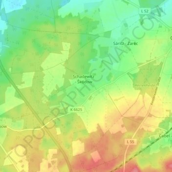
Name: Kemmen topographic map, elevation, terrain.
Location: Kemmen, Calau, Oberspreewald-Lausitz, Brandenburg, Deutschland (51.70845 13.87543 51.75739 13.93915)
Average elevation: 109 m
Minimum elevation: 76 m
Maximum elevation: 147 m
Other topographic maps
Click on a map to view its topography, its elevation and its terrain.
Schadewitz
Deutschland > Brandenburg > Oberspreewald-Lausitz > Calau
Schadewitz, Kemmen, Calau, Oberspreewald-Lausitz, Brandenburg, Deutschland
Average elevation: 113 m
Gollmitz
Deutschland > Brandenburg > Oberspreewald-Lausitz > Calau
Gollmitz, Calau, Oberspreewald-Lausitz, Brandenburg, Deutschland
Average elevation: 127 m
Altnau
Deutschland > Brandenburg > Oberspreewald-Lausitz > Calau
Altnau, Calau, Oberspreewald-Lausitz, Brandenburg, Deutschland
Average elevation: 90 m