
李家沟 topographic map
Interactive map
Click on the map to display elevation.
About this map
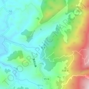
Name: 李家沟 topographic map, elevation, terrain.
Location: 李家沟, 四合镇, 大竹县, 达州市, 四川省, 中国 (30.41260 107.30802 30.41270 107.30812)
Average elevation: 482 m
Minimum elevation: 339 m
Maximum elevation: 810 m