
Thank you for supporting this site ❤️
Make a donation
Make a donation
Blunt topographic map
Click on the map to display elevation.
Thank you for supporting this site ❤️
Make a donation
Make a donation
About this map
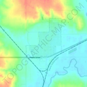
Name: Blunt topographic map, elevation, terrain.
Location: Blunt, Hughes County, South Dakota, United States (44.50873 -99.99761 44.52445 -99.98217)
Average elevation: 504 m
Minimum elevation: 488 m
Maximum elevation: 536 m
Thank you for supporting this site ❤️
Make a donation
Make a donation