
Thale topographic map
Interactive map
Click on the map to display elevation.
About this map
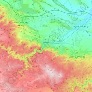
Name: Thale topographic map, elevation, terrain.
Location: Thale, Landkreis Harz, Saxony-Anhalt, 06502, Germany (51.65308 10.88663 51.83816 11.11500)
Average elevation: 304 m
Minimum elevation: 110 m
Maximum elevation: 588 m