
Olt topographic map
Interactive map
Click on the map to display elevation.
About this map
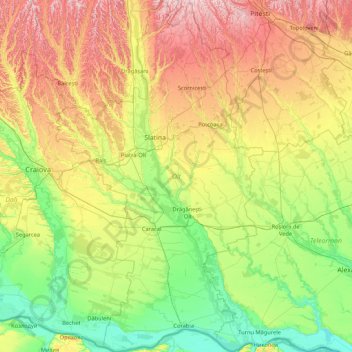
Name: Olt topographic map, elevation, terrain.
Location: Olt, Romania (43.68190 23.88198 44.90149 24.88656)
Average elevation: 157 m
Minimum elevation: 15 m
Maximum elevation: 477 m